2017/10/27 Daibosatu Pass & Ishimaru Pass PM95KR27
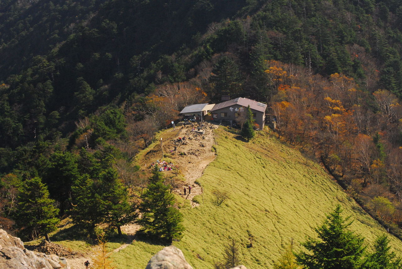
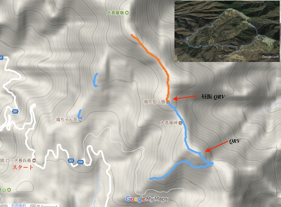
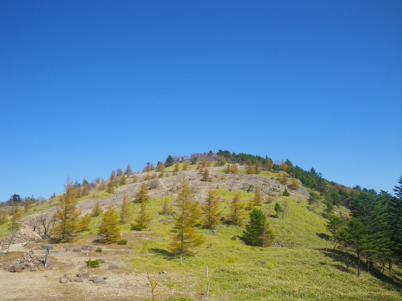
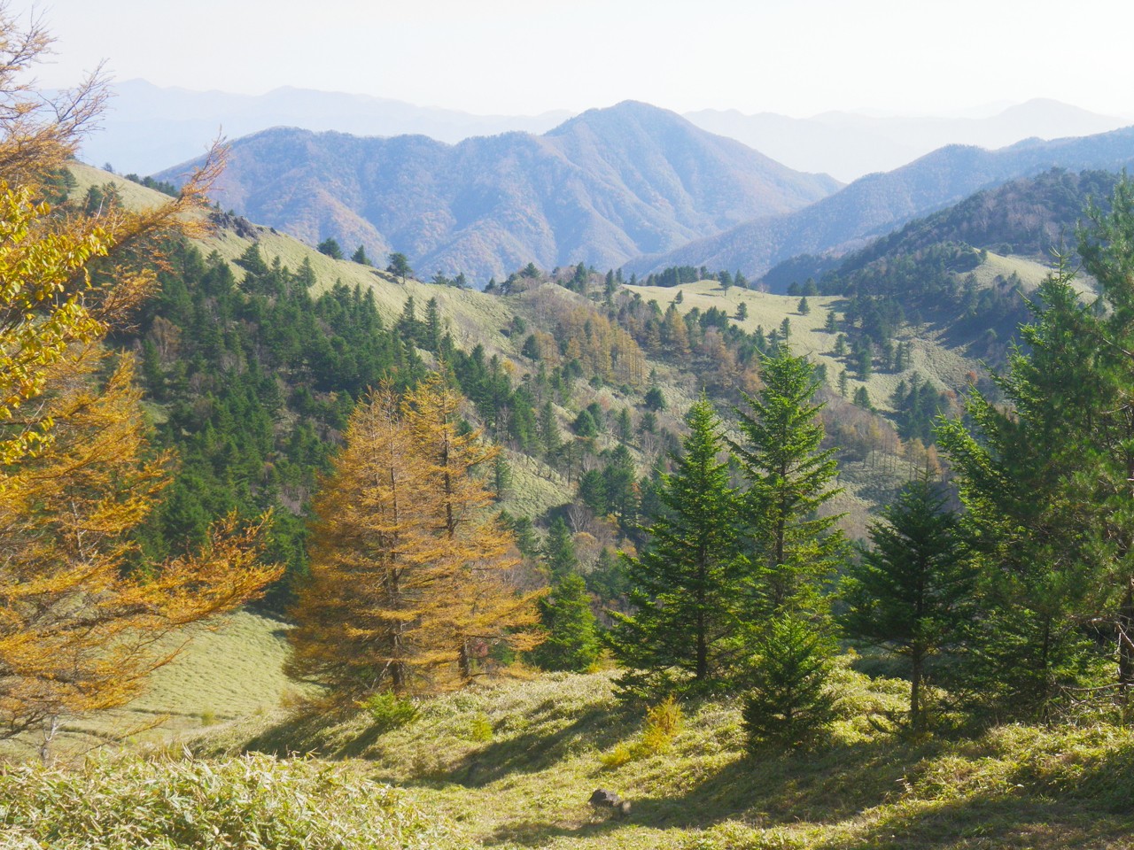
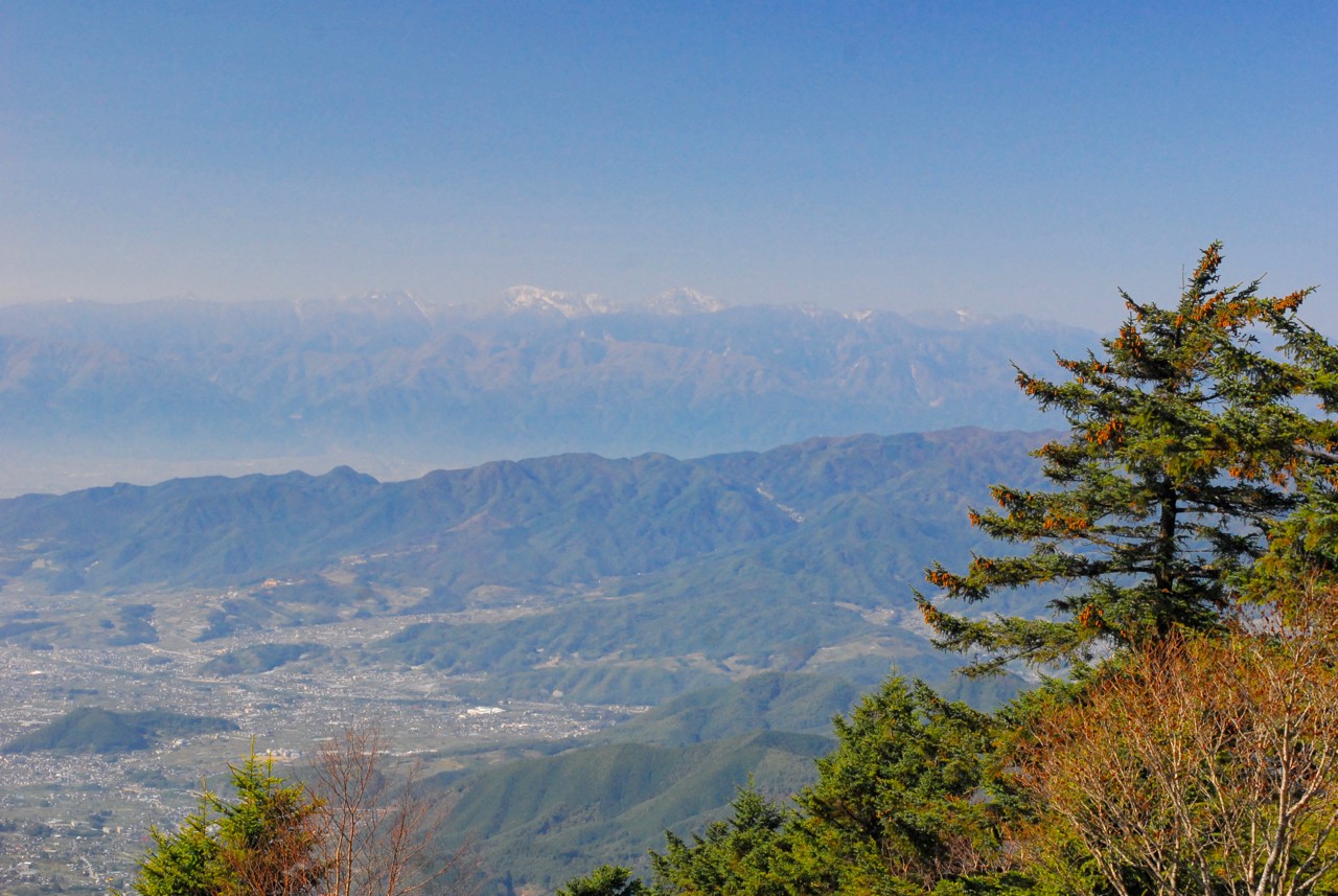
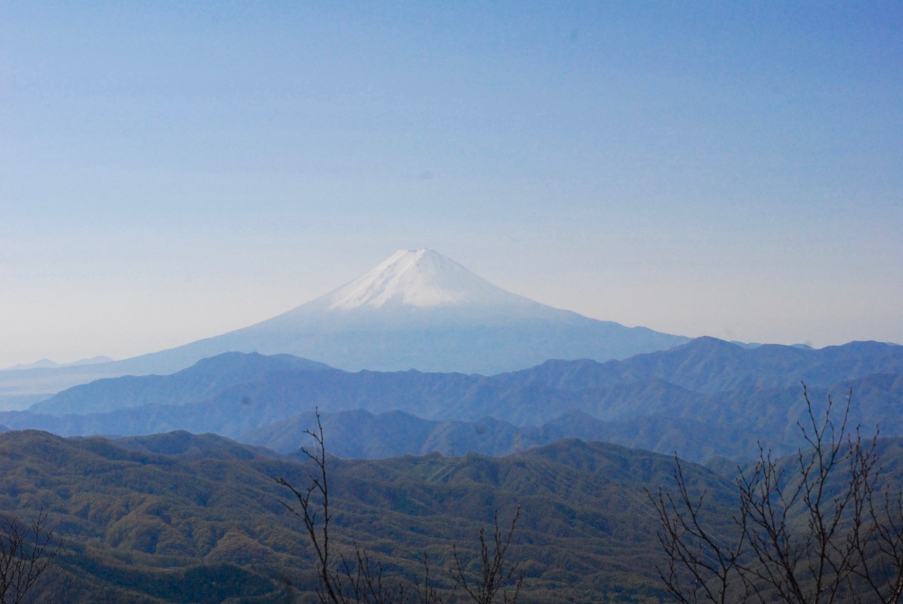
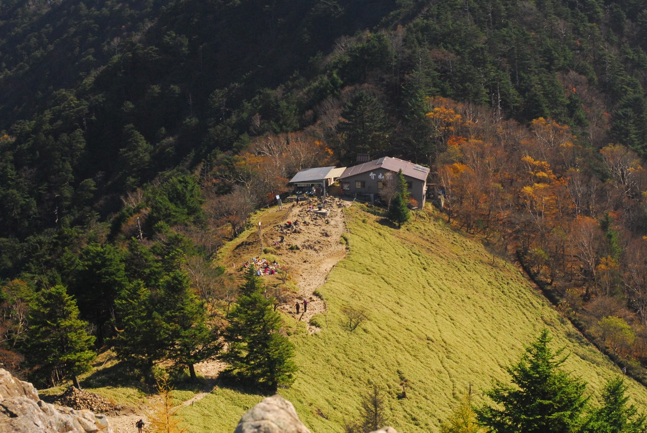
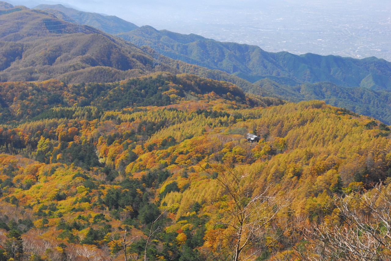
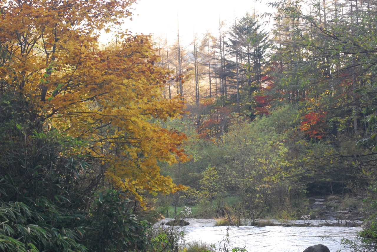
It was a 10 km trekking.Altitude from 1600 m to 2051 m.Kami-Nixtukawa Pass - >Thunder Rock ->Mt Oyafuchinokashira(1950m)->Daibosatu Pass -> Mt Kumasawa - Ishimaru Pass -> Kami-Nixtukawa Pass.it takes about 6 hours(include Break, lunch and QRV)
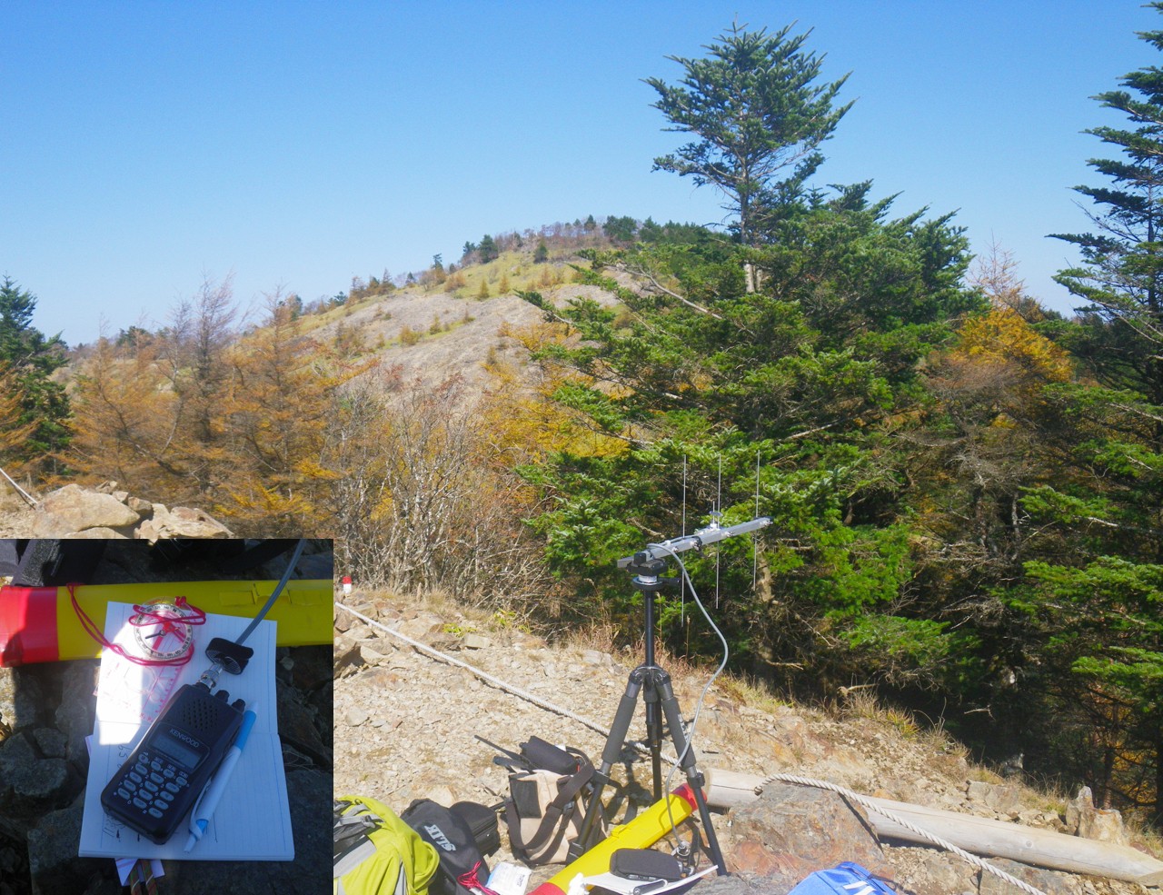
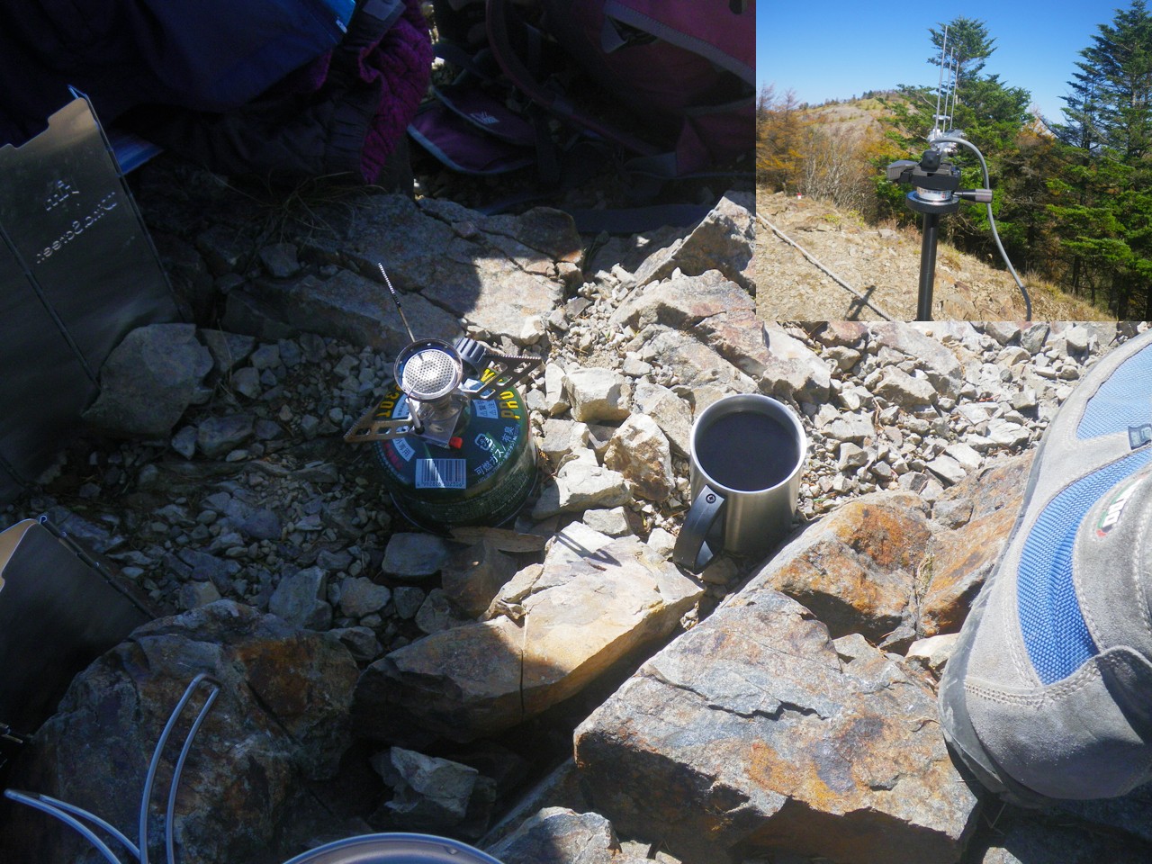
HF is impossible, so 430 MHz FM + 3 ele Yagi.Shortening setup time. I had 10 contact from 1950m.QRV at Mt Oyafuchinokashira.(Break andlunch)
JS1SWI was calling me , He was QRV from Sota JA/KN 020(Mt Gongendaira 500 m) . his setup was18Mhz,21Mhz,50Mhz and 430Mhz(Handy whip anntena 100wm).After QSO.I went to the next pass.The weather was fine and it was a nice day.
Latitude: 35.738118 Longitude: 138.851953 Locator: PM95KR27 (map, sat, terrain)
de JH1DIS
By accepting you will be accessing a service provided by a third-party external to http://www.outdoorqrp.org/



Комментарии
Lovely pics once again, Yoshio. Thank you for brightening our day. (Our weather is currently dry, but overcast.) 73
Agree! Traditionally excellent landscapes!
The rainy days were long in August and September this year and I could not outdoors. The temperature changed from 9 degrees to 24 degrees in October. It is usually 20 degrees though. The climate is strange worldwide.
The temperature will go down from this month.
Next time I am planning QRV from the coast with HF.
I am enjoying your scenery as well.
Thank you very much. Yoshio 73
Thank you for the WX gen. October rescued us too. I am really looking forward to your coastal pics. 73
Замечательные фотографии.Спасибо.73
Благодарю вас. На следующей неделе я пойду на берег.